{“content”: “
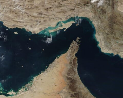
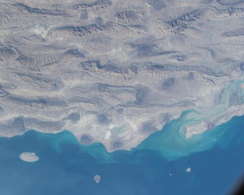
RIYADH u2014 Iran cannot tell the world where it put its own mines, and that single fact has made every ceasefire framework, every diplomatic channel, and every proposed reopening of the Strait of Hormuz structurally undeliverable from Tehran’s side. US intelligence officials told the New York Times on April 11 that Iran “may not have accurate records of the locations of all the mines it has planted,” that the laying was “random and disorganised,” and that some devices were placed “haphazardly” without clear command oversight u2014 meaning the country that mined the world’s most important oil chokepoint cannot produce the chart required to reopen it.
n
The implications reach beyond military planning into the architecture of every deal currently on the table. Every framework u2014 the Islamabad accord, the Witkoff phased proposal, Iran’s own counter-offer delivered through Pakistani mediators u2014 assumes that Tehran can physically deliver what it politically agrees to, that a signature on paper translates into safe passage through water. It cannot, because the Islamic Revolutionary Guard Corps laid mines it did not systematically track, in currents that have since shifted their positions, using at least one warhead specifically engineered to defeat the primary sonar sensor the United States has available in theater.
n
The Middle East briefing 3,000+ readers start their day with.
One email. Every weekday morning. Free.
Table of Contents
n
- n
- What Did Iran Actually Put in the Water?
- How Does a Military Lose Track of Its Own Weapons?
- The Paradox No Negotiator Can Solve
- Can the US Navy Clear the Strait Without Iran’s Cooperation?
- The Mine Built to Defeat the Sensor Sent to Find It
- What Does the 1984 Red Sea Tell Us About What Comes Next?
- Collecting Tolls on Corridors Nobody Can Certify Safe
- When Does the Strait Actually Reopen?
- Frequently Asked Questions
- n
n
n
n
n
n
n
n
n
n
n
n
n
What Did Iran Actually Put in the Water?
n
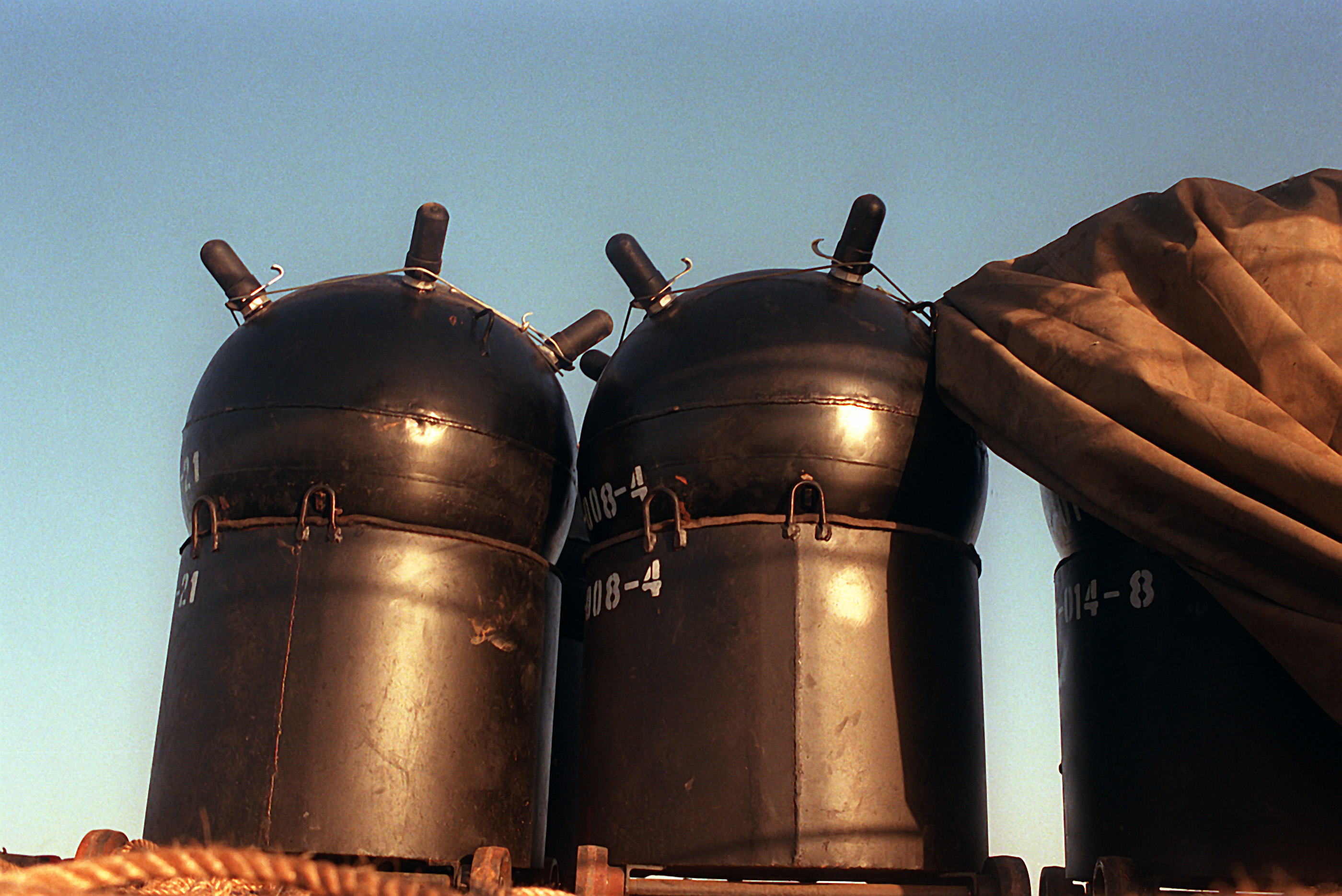
US intelligence identified two specific mine variants in a March 23, 2026 assessment, each presenting a different category of problem for the navies that will eventually have to find them. The Maham-3 is a 300-kilogram moored contact mine, operable in waters up to 100 metres deep, fitted with both magnetic and acoustic sensors. It sits tethered at a set depth and waits for a hull signature to pass overhead, and in the tidal conditions of the Strait it can swing on its mooring chain across a radius that makes its effective threat zone substantially larger than its placement coordinates. The Maham-7 is smaller at 220 kilograms but far more dangerous to clearance operations: a bottom-sitting limpet mine engineered with a sonar-scattering casing that disperses the acoustic return of exactly the kind of towed-array sensor that US Navy littoral combat ships carry, deployable in as little as ten feet of water, which means it can sit in the shallow approaches to ports and anchorages where deep-draft vessels have no room to manoeuvre around it.
n
n
| Specification | Maham-3 | Maham-7 |
|---|---|---|
| Weight | 300 kg | 220 kg |
| Type | Moored contact mine | Bottom / limpet mine |
| Maximum depth | 100 m | As shallow as 3 m (10 ft) |
| Sensors / design | Magnetic and acoustic triggers | Sonar-scattering casing |
| Primary MCM challenge | Mooring-chain swing radius widens threat zone | Sonar-scattering casing degrades AQS-20 detection |
| Drift vulnerability | Mooring can drag in strong tidal current | Seabed shift under sediment movement |
n
n
The count remains contested, and the gap between estimates is itself revealing. A March 23 US intelligence assessment reported by CBS News put the figure at “less than a dozen,” while a Washington Post report from April 22 disclosed that lawmakers had been briefed Iran could have placed “20 or more mines,” including GPS-equipped floating variants harder still to detect because they are not anchored to the seabed at all. The discrepancy u2014 from fewer than twelve to more than twenty in under a month u2014 reflects either additional IRGC mine-laying after the initial assessment (which Axios confirmed occurred as late as the week of April 21), or an initial undercount that US intelligence revised upward, or both simultaneously.
n
What neither variant was designed to do is remain stationary in the tidal environment of the Strait. The Naval Postgraduate School described the problem in terms that should give every negotiator in Islamabad pause: “the tidal nature of the currents through the strait, combined with variable strength of the winds, make prediction of oil slick or mine drift track unrealistic using climatology data u2014 operational, near real-time environmental data is necessary.” A mine laid in late February does not sit where it was laid in May, the currents through the Strait reverse direction with the tides, and Iran did not record where it placed the mine to begin with u2014 making even a perfect reconstruction of the original laying pattern useless for clearance planning today.
n
How Does a Military Lose Track of Its Own Weapons?
n
The question sounds absurd until you understand the command structure that executed the mining campaign u2014 or, more precisely, the absence of one. US officials told the New York Times that the mine-laying was “random and disorganised,” conducted without “clear command oversight,” and that Iran “did not systematically track every placement,” language that describes not a coordinated naval mining operation of the kind taught at war colleges but a series of dispersed, semi-autonomous actions by IRGC Navy units operating under decentralized authority during the opening weeks of a war that moved faster than Tehran’s institutional capacity to manage it.
n
The IRGC Navy’s command was itself in disarray during the critical mine-laying window. Rear Admiral Ali Reza Tangsiri, the IRGC Navy commander, was killed on March 30, and as of mid-May no named successor has been publicly appointed u2014 leaving the force that controls the Strait operating under headless but still functional unit-level command, with individual formations making operational decisions that no central authority was aggregating into a coherent mine chart. The mines were laid across a period that began on or before late February and continued, according to Axios reporting on April 23, as late as the week of April 21 u2014 nearly eight weeks under shifting and sometimes absent centralized direction. The IRGC’s “full authority” declaration of April 5 attempted to retroactively formalize what was already happening without coordination.
n
The Stimson Center, citing a declassified 2009 CIA report, noted that Iran “has adopted a strategy in which a few mines or the threat of mining would be used to deter shipping” u2014 a doctrine premised on ambiguity rather than precision, on making the adversary uncertain about what is in the water rather than making your own forces certain of where they placed it. That doctrine is effective for deterrence, where the objective is to keep vessels away from an area indefinitely, but it collapses the moment Iran needs to bring vessels back, because the ambiguity that protected Iranian interests during the war now imprisons them during the peace. A 2017 Office of Naval Intelligence assessment, also cited by the Stimson Center, concluded that “naval mines were a critical component of the IRGCN’s strategy in the Strait of Hormuz” u2014 but strategy and record-keeping are different disciplines, and the IRGC appears to have invested heavily in one while neglecting the other entirely.
n
The Paradox No Negotiator Can Solve
n
Iran’s formal peace counter-proposal, delivered through Pakistani mediators in May 2026, includes a condition that the international community recognize Iranian sovereignty over the Strait of Hormuz u2014 a demand that, taken on its own terms, would require that Iran alone determines what moves through its territorial waters, who conducts operations within them, and under what conditions foreign naval forces may be present. The problem is that Iran physically cannot conduct mine clearance in its own waters, possesses no known mine countermeasures vessels in either the IRIN regular navy or the IRGC Navy inventory, and has never independently cleared a naval minefield in its operational history u2014 meaning the sovereignty condition requires the world to recognize Iran’s exclusive jurisdiction over waters that only other navies have the equipment to make safe.
n
n
“Iran possesses geographical sovereignty over the Strait’s territorial jurisdiction, while the United States possesses operational sovereignty through capacity for mine clearance and naval escort, and neither party can exercise its form of sovereignty without the other.”
n
u2014 Geopolitical Monitor, April 2026n
n
n
This is not a negotiating position that creative treaty language can finesse. Any mine clearance operation requires foreign naval vessels u2014 American, British, French, or multilateral u2014 to operate inside waters Tehran claims as exclusively its own, to map the seabed Iran has declared sovereign territory, and to generate hydrographic intelligence that the clearing navy will retain and that any future naval power could use to operate in those waters for decades. The Geopolitical Monitor noted that “the country whose naval forces complete the mine-clearance will possess detailed operational knowledge” of Hormuz hydrography and “the legal predicate under international maritime law for maintaining a naval presence indefinitely” u2014 which means that the act of making the Strait safe simultaneously accomplishes the thing Iran’s sovereignty demand is designed to prevent.
n
This is why the UN Security Council draft resolution demanding that Iran disclose mine locations and cooperate with removal efforts has gone unanswered, and will continue to go unanswered regardless of which faction in Tehran holds the pen. Disclosure is an admission that Iran laid mines it cannot recover u2014 a confession of operational recklessness that no Iranian faction, reformist or hardline, has the domestic political capacity to make. Cooperation with foreign MCM forces means inviting the very naval presence that the sovereignty demand is designed to exclude, under conditions where the clearing navy acquires permanent operational knowledge of the waterway Iran claims the exclusive right to control.
n
The result is a negotiation in which Iran’s minimum acceptable terms u2014 sovereignty recognition, no permanent foreign naval presence, IRGC control over transit u2014 are physically incompatible with the precondition for any deal’s implementation. Araghchi’s April 17 declaration that the Strait was “completely open” lasted hours before the IRGC reversed it, and his qualification u2014 “with due consideration of technical limitations,” which US officials interpreted as an implicit acknowledgment that Iran cannot locate or clear its own mines u2014 was the closest any Iranian official has come to admitting that the diplomatic track and the physical reality occupy different universes.
n
Can the US Navy Clear the Strait Without Iran’s Cooperation?
n
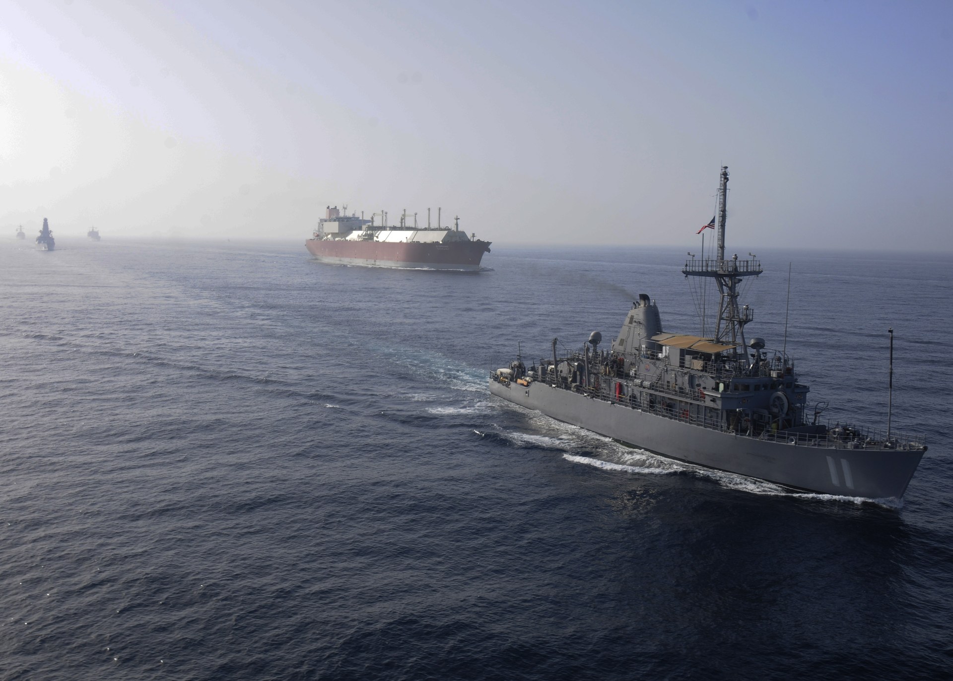
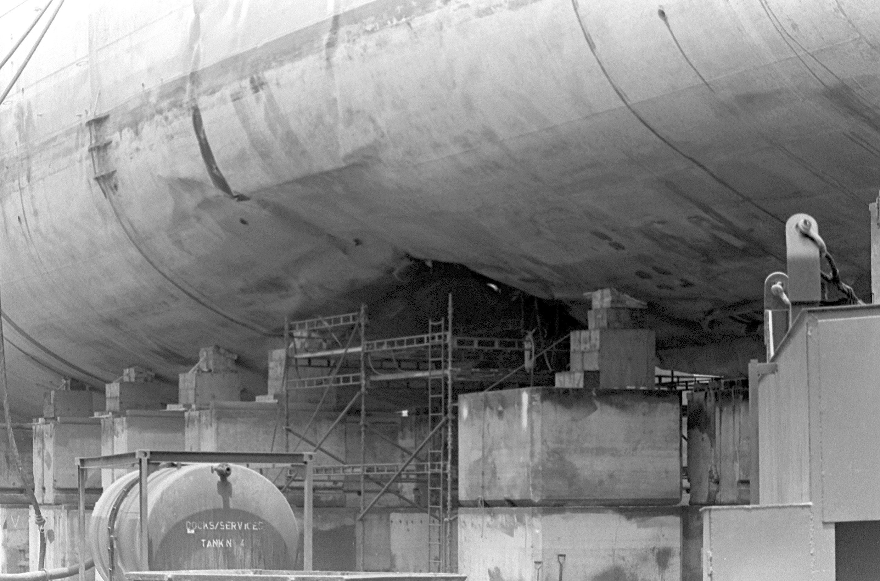
The answer, in the narrow military sense, is yes u2014 eventually, at enormous cost, and with capabilities the United States largely dismantled before the crisis began. All four Avenger-class mine countermeasures ships previously based at NSA Bahrain u2014 USS Devastator, Sentry, Dextrous, and Gladiator u2014 were decommissioned on September 25, 2025, and transported to the Philadelphia Inactive Ship Maintenance Facility, five months before the first mine entered the water and weeks before the conflict that made mine clearance the single most consequential naval mission in the world. The US Navy dissolved Mine Warfare Command u2014 MineWarCom u2014 in 2006, eliminating the institutional hub that coordinated MCM doctrine, training, and force advocacy, a twenty-year institutional decision whose full consequences arrived on a single day in February 2026.
n
n
| Asset | Status Pre-Conflict (Feb 2026) | Status May 2026 |
|---|---|---|
| Avenger-class MCM (Bahrain) | 4 ships decommissioned Sept 25, 2025 | At Philadelphia inactive facility |
| Avenger-class MCM (Sasebo) | 4 ships operational | 2 dispatched (USS Chief, USS Pioneer) |
| LCS MCM module (AQS-20) | Limited number, operational challenges | 6-hour pre-sortie calibration per mission |
| Dedicated MCM helicopters | None | None |
| MineWarCom | Dissolved 2006 | No replacement command |
n
n
Only two Avenger-class vessels remain available for the mission: USS Chief and USS Pioneer, dispatched from Sasebo, Japan in mid-April, weeks after the mine threat had already collapsed Hormuz traffic to approximately five per cent of its pre-conflict baseline of around 3,000 vessels per month. Chief of Naval Operations Admiral Daryl Caudle, speaking at CSIS, acknowledged that “purpose-built ships are still the best answer for dedicated mine warfare” and admitted what he called “the irony” that demand for mine clearance capacity surged at exactly the moment the Bahrain-based fleet had been retired u2014 an irony that extends to the institutional level, since the command structure that would have advocated against decommissioning those ships no longer existed to make the argument.
n
n
“The United States has three MCM countermeasures ships, no dedicated MCM helicopters, and a limited number of LCS MCM modules, all of which face operational challenges… In 2006, the US Navy dismantled MineWarCom.”
n
u2014 Foreign Policy Research Institute, March 2026n
n
n
The replacement platform u2014 the littoral combat ship equipped with the AQS-20 towed sonar array u2014 has documented limitations that make Hormuz a specifically hostile operating environment for its sensor profile. FPRI reported that the AQS-20 “has to drive directly over a bottom mine” to detect it, and that “the turbid, shallow, current-swept waters of the Persian Gulf” defeat this approach because sediment and current noise degrade sonar returns to the point where the sensor cannot reliably distinguish a mine casing from a rock formation. Pre-mission calibration requires up to six hours per sortie, and the detection geometry means every square metre of seabed must be individually overswept u2014 a methodology that, applied to approximately 200 square miles of primary shipping lanes, explains the Pentagon’s estimate, reported by the Washington Post on April 22, that clearance could take six months.
n
Jane’s UDT 2026 wargaming produced a more optimistic timeline u2014 unmanned MCM systems “could clear the Strait of Hormuz of mines in a matter of weeks” u2014 but attached a qualifier that dissolves the finding’s operational relevance: the weeks-long clearance assumed “a permissive environment,” meaning Iran not opposing operations. Given that the IRGC has stated the Strait “will never return to its previous status” and continues to seize commercial vessels transiting the Qeshm-Larak corridor, a permissive environment is not a planning assumption available to CENTCOM u2014 it is an input condition that does not exist and that no current diplomatic track can produce.
n
The Mine Built to Defeat the Sensor Sent to Find It
n
The mine that is hardest to find was engineered by the country that cannot tell you where it put it. That convergence of design intent and operational failure encapsulates the entire Hormuz crisis in a way that no diplomatic communiquu00e9 can paper over.
n
The AQS-20’s detection model requires flying the sensor at a consistent altitude above the seabed, maintaining a precise tow angle and speed, and interpreting acoustic returns in real time to differentiate mine casings from natural seabed features. That process works acceptably in clear, deep, low-current waters and degrades in direct proportion to the turbidity, shallowness, and tidal strength of the operating environment u2014 all three of which characterize the Strait of Hormuz at levels near the sensor’s documented failure thresholds. The Maham-7’s sonar-scattering properties do not need to render the weapon invisible to exploit this. They merely need to reduce its acoustic signature enough that the sensor cannot distinguish it from surrounding clutter with sufficient confidence to classify it as a mine rather than debris u2014 a threshold that, in Gulf conditions, the Maham-7 was purpose-built to clear.
n
The operational implication is that Maham-7 fields u2014 however many exist, wherever the currents have carried them u2014 will require either diver-based visual identification, which is slow and exposes personnel to exactly the risk that unmanned MCM systems were supposed to eliminate, or repeated sensor passes at reduced speed with increased dwell time per grid square, multiplying the already punishing six-month clearance timeline by a factor that the Pentagon has not publicly estimated because doing so would require disclosing how many Maham-7 units it believes are in the water. Every square metre cleared of Maham-7 threat costs more time, more risk, and more institutional capacity than the clearance of a conventional mine u2014 and the US Navy will be conducting this operation with two ageing Avengers and a towed sonar system that the mine was engineered from its first design iteration to defeat.
n
What Does the 1984 Red Sea Tell Us About What Comes Next?
n
Between July 9 and August 15, 1984, seventeen merchant vessels were struck by explosions in the Gulf of Suez and the Bab el-Mandeb strait u2014 a mining campaign attributed to Libya that Tripoli never acknowledged and for which no mine positions were ever disclosed to any international body. Within 27 days of the first explosion, an international force drawn from British, French, Dutch, Italian, and American navies deployed under national command and began clearance operations without the mining party’s consent, cooperation, or even acknowledgment that mines had been laid, establishing a precedent that is directly applicable to the current Hormuz crisis: international mine countermeasures operations can and have proceeded in waters where the miner refuses to admit the mines exist.
n
n
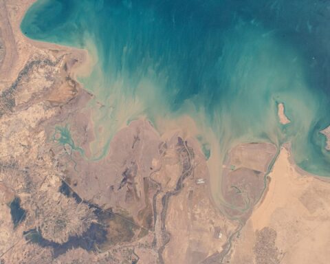
The legal framework that supported the 1984 operation remains intact and was reinforced by subsequent practice. Just Security and CNAS wrote in their 2026 analysis that “belligerents are not allowed to seed large areas of international waters and international straits with mines in a way that creates large de facto exclusion zones for all maritime traffic,” and that “areas that are mined have to be reasonably limited and have a concrete military purpose.” Iran’s mining campaign, which has reduced Hormuz traffic to roughly five per cent of its pre-conflict volume according to UK Parliamentary briefing CBP-10636, satisfies neither condition u2014 the exclusion zone is effectively total, and the military purpose, if it ever existed as a coherent IRGC objective, has been overtaken by Iran’s own attempts to reopen the Strait for revenue collection through the toll mechanism of the double-blockade structure.
n
The 1991 Gulf War offers the harder lesson, and the one that bears most directly on clearance timelines. Iraq laid over 1,000 mines across six identified fields over five months, and even with captured Iraqi charts showing exact mine positions u2014 charts obtained during the ground campaign u2014 clearance of the primary operating areas required weeks of sustained effort by dedicated MCM forces. USS Tripoli struck an Iraqi LUGM-145 mine on February 18, 1991, sustaining a 25-by-23-foot hull breach; USS Princeton hit another mine an hour later, ten miles away, in a field assessed as low-risk on the basis of the very charts that were supposed to make clearance predictable. The 1991 operation produced the benchmark u2014 51 days to clear 200 square miles u2014 that underpins current Pentagon estimates, but that benchmark was achieved with a precondition that does not exist in 2026: captured enemy mine charts showing where the weapons were placed, verified against the mining party’s own records.
n
The 1988 experience sits between the two as a warning about what happens when mine clearance runs concurrent with continued hostility. USS Samuel B. Roberts struck an Iranian M-08 contact mine on April 14, 1988, sustaining a 21-foot hull breach, and Operation Praying Mantis u2014 the largest US naval surface engagement since the Second World War u2014 launched four days later as a direct reprisal. The pattern that emerges from all three precedents is consistent: mine clearance without the mining party’s cooperation is legally permissible, operationally possible, and invariably slower, costlier, and more dangerous than any pre-conflict planning assumed, and the country that laid the mines forfeits control over the timeline the moment it loses track of where they are.
n
Collecting Tolls on Corridors Nobody Can Certify Safe
n
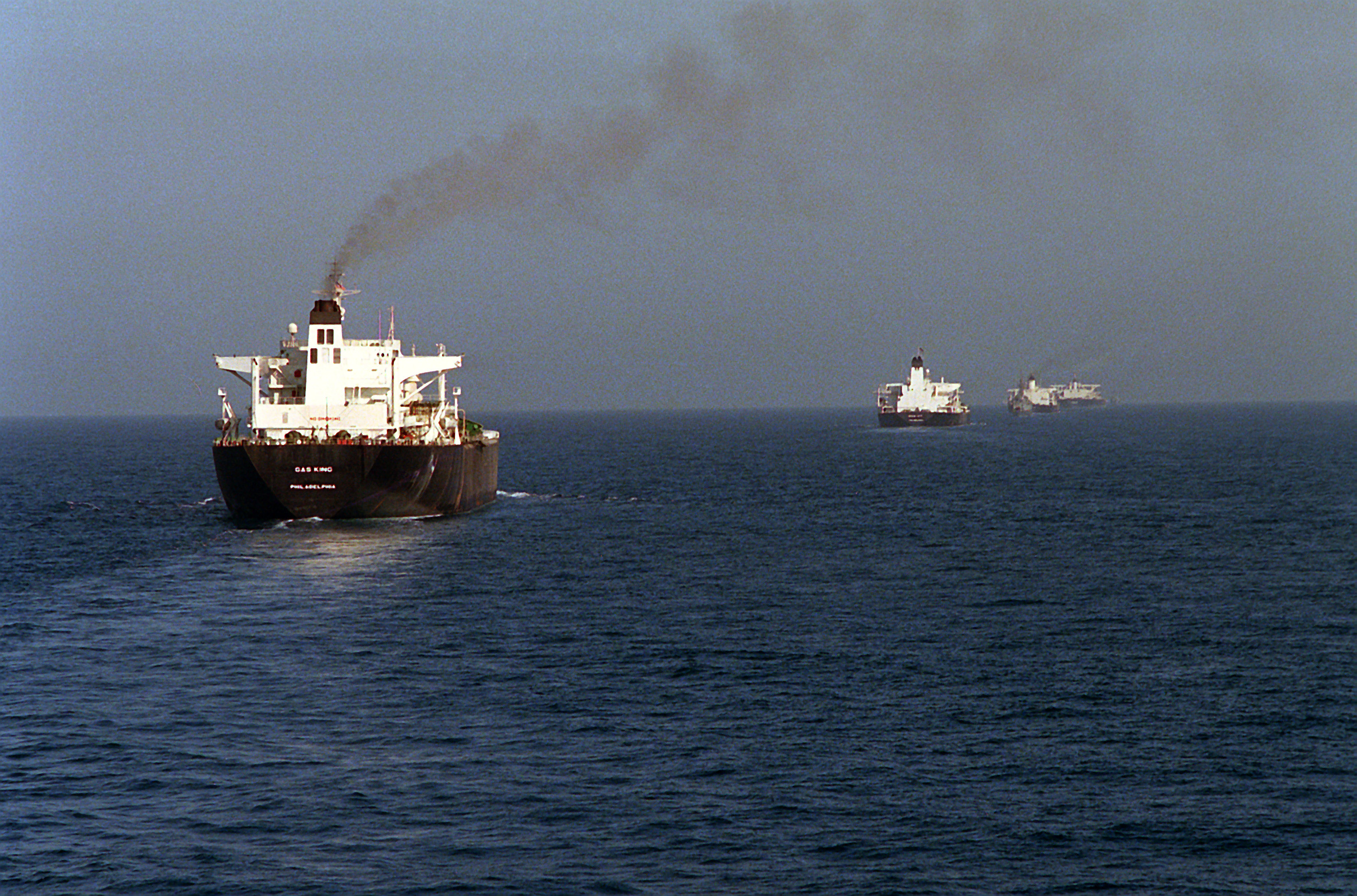
The Persian Gulf Strait Authority, launched on May 7, 2026, is perhaps the most operationally absurd element of the current crisis, and the one that most clearly exposes the gap between Iran’s political aspirations for the Strait and its physical incapacity to deliver them. The PGSA, operated under IRGC Navy direction, charges vessels up to $2 million per transit u2014 denominated in Iranian rials u2014 to pass through corridors defined by the IRGC’s danger-zone map into the narrow five-nautical-mile Qeshm-Larak channel inside Iranian territorial waters, with approximately 20 per cent of cargo confiscable as penalty for noncompliance. Iran is, in operational terms, running a toll road through a minefield it cannot chart, collecting fees for safe passage through waters whose safety it cannot verify, from vessels whose insurance coverage it has destroyed.
n
The insurance dimension is the mechanism that will determine when Hormuz reopens, and it operates on a logic that is entirely indifferent to diplomatic declarations, ceasefire frameworks, or IRGC press statements. War-risk premiums surged from approximately 0.25 per cent to between three and eight per cent of hull value after the mining campaign began u2014 a cost increase that adds $3 million to $8 million in insurance alone to a single large tanker transit, payable regardless of any toll Iran charges and calculated by underwriters who price physical risk, not diplomatic optimism. Lloyd’s Joint War Committee redesignated the entire Arabian Gulf as a listed conflict zone, and maritime insurers have stated their requirements with a clarity that no Foreign Ministry communiquu00e9 can match: they need a “verified, insurer-accepted chart” showing where the mines are not, produced by a credible naval authority with demonstrated MCM capability, before they will resume coverage at pre-war rates.
n
n
No political declaration, no ceasefire text, and no IRGC-issued corridor map meets that standard, because Lloyd’s does not insure intentions u2014 it insures hulls against contact with ordnance, and the ordnance is in the water in positions nobody can confirm. The approximately 1,500 vessels and 20,000 crew currently trapped in the Persian Gulf are living inside this gap between what diplomats say and what underwriters will cover, between Araghchi announcing the Strait is “completely open” and Lloyd’s classifying it as a war zone, between the PGSA charging $2 million for a transit and the insurers adding $8 million in war-risk premium on top. The Saudi production collapse u2014 output falling to 7.25 million barrels per day from 10.4 million, a 30 per cent single-quarter decline that the IEA called the “largest disruption on record” u2014 has made the Yanbu bypass a structural necessity rather than a contingency, but even the East-West Pipeline’s ceiling of 5.9 million barrels per day cannot replace what Hormuz once carried, and the gap between pipeline capacity and pre-war throughput represents physical barrels that will not reach the market until the mines are cleared. The institutional framework Iran erected to govern this constrained transit — a 40-question vetting form, IRGC routing, and a 12-article enabling law with no sunset clause — is detailed in our analysis of the Persian Gulf Strait Authority’s fait accompli architecture.
n
When Does the Strait Actually Reopen?
n
The timeline is not set by politicians in Islamabad or diplomats in Geneva; it is set by the intersection of MCM capacity, mine count, sensor limitations, and the permissiveness of the operating environment u2014 and every variable in that equation currently points in the same direction. The Pentagon’s six-month estimate, delivered to Congress in April, assumed the two remaining Avenger-class vessels operating alongside LCS-based AQS-20 systems in waters where Iran is not actively interfering u2014 an assumption that has been violated repeatedly since it was given, most recently when the IRGC seized two container vessels on April 22 in the same week Axios confirmed additional mine-laying. If the environment remains contested, the six-month estimate stretches toward a year or beyond; if it becomes fully non-permissive u2014 meaning the IRGC actively targets MCM vessels u2014 the clearance operation transforms from an engineering challenge into a naval combat operation requiring force protection that the two Avengers are not equipped to provide.
n
The sequence of prerequisites for genuine reopening u2014 not IRGC-managed corridor transit at five per cent of pre-war volume, but the restoration of insured commercial shipping at scale u2014 runs in a fixed order that no diplomatic shortcut can rearrange. First, either Iran discloses mine locations (which it cannot do because it does not know them) or international MCM forces begin clearance without Iran’s cooperation (which the 1984 Red Sea precedent legally permits but which Iran’s sovereignty demand politically opposes). Second, the clearing force produces a verified, insurer-accepted hydrographic chart covering the primary shipping lanes u2014 a document that requires complete seabed survey, not sampling or estimation. Third, Lloyd’s Joint War Committee reviews the chart, potentially commissions independent verification, and removes the Arabian Gulf from its listed conflict zones, a process that historically takes months after the underlying risk is addressed. Fourth, insurers adjust war-risk premiums downward to levels that make tanker transit commercially viable for charterers whose margins were already thin before premiums rose by a factor of thirty.
n
Even under the most optimistic scenario u2014 Iran does not interfere, the two Avengers and LCS modules perform at theoretical maximum, and no additional mines are discovered beyond the current estimate u2014 the minimum timeline from the start of clearance operations to the restoration of insured commercial traffic runs nine to twelve months, a period during which the global oil market, Brent crude at approximately $107 per barrel, and the broader diplomatic negotiations over enrichment and ceasefire terms will continue to operate under the assumption that Hormuz is closed. The mine-laying campaign that the IRGC executed in weeks will take the better part of a year to undo u2014 and that gap between the speed of mining and the speed of clearing is the structural reality that every negotiator, in every capital, is working around without publicly acknowledging.
n
Frequently Asked Questions
n
Could China or Russia conduct mine clearance instead of the United States?
n
In theory, both navies possess MCM-capable vessels u2014 China operates Type 081 and Type 082 minesweepers, and Russia maintains a MCM fleet concentrated in the Black Sea and Baltic. In practice, neither has deployed mine countermeasures assets to the Persian Gulf, neither possesses the hydrographic baseline data for the Strait that the US Navy built over decades of Fifth Fleet operations, and neither has demonstrated the AQS-20-equivalent towed sensor capability that bottom-mine detection in Gulf conditions requires. China has brokered individual transits u2014 the Al Daayen LNG carrier crossed in early April with Chinese intermediation u2014 but brokering passage through an IRGC checkpoint is a diplomatic act, not a mine clearance operation, and China has shown no inclination to commit naval MCM assets to a waterway where the operational intelligence gained would benefit the US Navy as much as Beijing.
n
What legal liability does Iran face for undisclosed mines that damage vessels during a ceasefire?
n
Hague Convention VIII of 1907, to which Iran is not a signatory but which is considered reflective of customary international law, imposes liability on the mine-laying party for damages caused by uncharted mines and requires belligerents to notify neutral shipping of mine locations u2014 a requirement Iran has manifestly not met. Flag states of damaged vessels can pursue claims under international law, P&I clubs (the mutual insurers that cover hull and cargo damage) would likely subrogate against Iran, and the International Tribunal for the Law of the Sea provides a jurisdictional forum, though enforcement of any judgment against Iran in the current environment is effectively theoretical. The more consequential legal exposure is that undisclosed mines in international waters or international straits after cessation of hostilities could be classified under international law as an ongoing act of belligerency, potentially justifying continued blockade operations by the US under self-defence and freedom-of-navigation doctrines even after a ceasefire is signed. That legal exposure expanded materially on May 12, when the IRGC declared a 500-kilometer operational crescent from Jask to Siri Island, extending its claimed enforcement zone well beyond the strait into Gulf of Oman waters where transit passage rights do not apply at all.
n
Has Iran ever independently cleared a naval minefield?
n
There is no documented instance of Iran conducting independent mine countermeasures operations at any scale. After the 1988 ceasefire that ended the Iran-Iraq Tanker War, mine clearance in the Persian Gulf was conducted by US, British, and allied naval forces u2014 Iran neither participated in nor contributed to the operation, despite having laid many of the mines being cleared. The IRIN and IRGC Navy inventories include mine-laying platforms (including the Iran Ajr-class minelayers and fast-attack craft adapted for mine deployment) but no dedicated MCM vessels, no known towed-array mine detection sensors, and no mine countermeasures helicopter capability, an asymmetry that reflects a force designed to deny access to waterways rather than to restore it.
n
How long would it take the US Navy to rebuild dedicated mine warfare capacity to pre-2006 levels?
n
The Center for Strategic and International Studies estimated that fielding the next generation of dedicated MCM platforms at operational scale would require five to seven years of procurement, construction, testing, and crew training u2014 a timeline that begins after funding authorization, which has not occurred as of May 2026. The institutional damage extends beyond ships: MineWarCom’s dissolution in 2006 dispersed mine warfare expertise across surface, undersea, and expeditionary commands with no single advocate for MCM readiness, and the career pipeline that produced dedicated mine warfare officers atrophied over two decades of institutional neglect. The Navy’s current plan relies on the LCS MCM mission module and unmanned systems, but FPRI’s assessment that these platforms face “operational challenges” in Gulf conditions is a diplomatic understatement for a programme that was 15 years behind its original fielding schedule before the Hormuz crisis gave it operational urgency.
n
On May 14, CENTCOM commander Admiral Brad Cooper told the Senate Armed Services Committee that American forces had eliminated more than 90 percent of Iranu2019s inventory of over 8,000 naval mines through more than 700 airstrikes. The claim reopened a question this analysis raises but does not resolve: whether a 90 percent clearance rate against a mine inventory Iran cannot independently locate translates into a strait that insurers will certify as navigable. That gap u2014 between the military claim and the commercial prerequisite u2014 is the subject of Cooper Says 90 Percent of Iranu2019s Mines Destroyed. The Strait Remains Closed.
n”}